

There is a familiar moment at the beginning of many geospatial projects. Someone identifies a problem, a software solution is available, and everyone is anxious to get started. The parcel map needs improvement. An aging database needs replacement. Departments need better access to information. A new application promises to make an inefficient process easier.
The natural response is to begin doing something. Purchase the software. Design the database. Convert the data. Build the application. Start moving lines.
Yet the most consequential decisions often occur before any of those activities begin. They depend on whether we understand the problem well enough to choose an appropriate action.
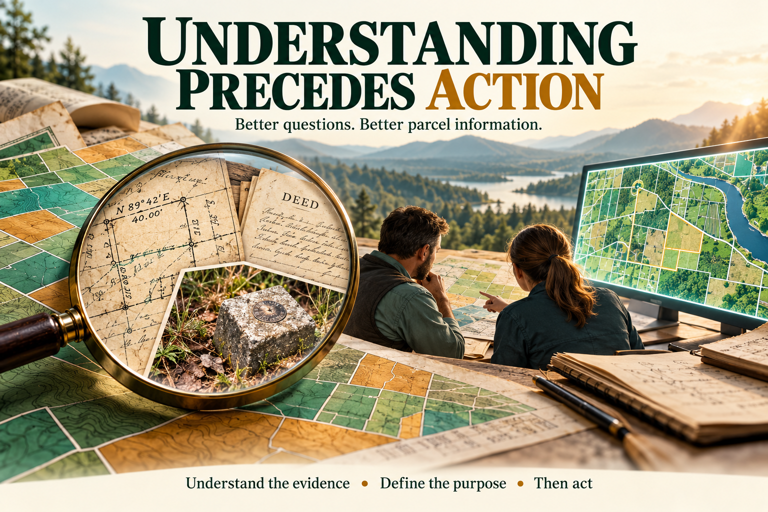
“Understanding precedes action” offers a useful discipline for this moment. Before we change something, we should understand what it represents, why it exists, how it is used, and what depends on it. In geospatial projects—and particularly in parcel mapping—that understanding can determine whether an investment produces lasting improvement or simply gives an old problem a new appearance.
The attraction of immediate action
Geospatial technology makes action remarkably easy. We can move thousands of features, transform coordinates, populate attributes, publish services, and automate repetitive tasks with considerable speed. A process that once required weeks of manual work may now take minutes.
That capability is valuable, but it also increases the consequences of acting on an incorrect assumption. An automated process can repeat a misunderstanding across an entire county before anyone recognizes the problem.
Consider a parcel layer that appears misaligned with aerial imagery. Moving the parcels may seem like an obvious improvement. Before making that adjustment, however, we need to understand what we are comparing. What is the positional quality of the imagery? Are the visible fences actually associated with the boundaries being mapped? How was the parcel layer constructed? Is the discrepancy consistent, or does it vary across the project area? What survey control and source documents are available?
The visible mismatch identifies something to investigate. It does not, by itself, establish which information should change.
The danger is allowing the ease of performing an operation to substitute for confidence that the operation is appropriate.
Begin with the decision the project must support
A geospatial project often arrives with a proposed deliverable already attached: a dashboard, a web map, a new database, or a migration to a different platform. Those deliverables may be appropriate, but they tell us little about the underlying need.
A request for a dashboard might reflect difficulty coordinating work between departments. A request for a new parcel viewer might arise because users cannot distinguish current ownership information from the parcels used for a particular tax year. A request to replace a database might actually be driven by inconsistent identifiers and unclear maintenance responsibilities.
Understanding begins by asking what people need to accomplish.
Which decisions will this information support? Who makes those decisions? What information do they need, and when do they need it? What happens when that information is missing, outdated, or misunderstood?
These questions help define success in terms that matter to the organization. “Publish a parcel service” describes an activity. “Give assessment, planning, and permitting staff access to the same identified parcel information, with a clearly communicated update schedule” describes an operational result.
That distinction provides a better basis for selecting technology, designing workflows, and evaluating the completed project.
A parcel polygon carries more meaning than its shape
Parcel mapping makes the need for understanding especially clear because the geometry is only one part of the information.
A polygon may represent an assessment unit, a separately described tract, a subdivision lot, a condominium interest, or another unit maintained for a particular purpose. Several interests may occupy the same geographic space. One assessment parcel may incorporate multiple described tracts. A recorded subdivision lot may remain relevant even after ownership or assessment configurations change.
Before editing that polygon, we need to understand what the organization intends it to represent.
Suppose two adjoining parcels appear under the same owner’s name. Should they be merged? Common ownership alone does not answer the question. The organization may need to preserve separate assessment accounts, source descriptions, historical relationships, or other distinctions. A merge that simplifies the display could remove information needed elsewhere.
Similarly, overlapping polygons may indicate a mapping error, or they may represent different kinds of interests that legitimately occupy the same area. A rule requiring all polygons to avoid overlap is meaningful only after we establish which features the rule governs.
A database cannot reliably express distinctions its designers have not first understood.
Understand the evidence before changing the boundary
Parcel mapping involves interpreting information about land. Deeds, plats, surveys, monuments, measurements, occupation, and historical mapping can each contribute to that interpretation, but they do not all serve the same purpose.
A deed may contain a description without providing enough information to place it confidently in a modern coordinate system. A survey may document recovered evidence and explain how a boundary was retraced. A fence visible in imagery may represent occupation without establishing the location of a property boundary. An existing GIS line may reflect a careful interpretation, a rough approximation, or a compromise made decades earlier.
The mapper needs to understand the source and significance of the information before deciding how to use it.
The distinction between an original survey and a retracement is particularly important. Understanding whether a document establishes a boundary or seeks to recover an existing one changes the questions we ask of the evidence. A mathematically convenient construction may fail to reflect the history and evidence relevant to the boundary.
Geometric consistency is useful, but it is only one consideration. Making a description close, straightening a line, or eliminating a small overlap does not establish that the resulting location is a better representation.
Where evidence conflicts or a boundary determination exceeds the mapper’s role, the appropriate action may be to document the uncertainty and seek qualified review. Recognizing that limit is part of understanding the work.
Learn why the existing system works the way it does
Legacy systems often look unnecessarily complicated to someone encountering them for the first time. They may contain duplicate fields, unusual identifiers, separate publication datasets, or maintenance steps that seem redundant.
Some of those arrangements deserve replacement. Others preserve an important business requirement that has never been documented clearly.
A second parcel identifier may support a connection to an assessment system. A separate dataset may preserve the annual tax map. A seemingly obsolete field may still drive a public application. A manual review step may catch exceptions that the automated process cannot recognize.
Removing these elements before understanding their purpose can create problems far beyond the editing environment.
One of the most useful questions in a modernization project is, “What would stop working if we removed this?”
Another is, “What problem was this procedure created to solve?”
The answers do not require us to preserve every historical decision. They give us enough information to replace those decisions responsibly.
Listen to the people who maintain and use the information
Much of the understanding needed for a successful project resides with people.
The parcel mapper may know that a group of features was compiled from limited source material. Assessment staff may understand why certain changes become effective at different times. An addressing coordinator may know how parcel identifiers are used when creating new addresses. A database administrator may know which overnight processes depend on a particular schema.
These details rarely appear together in a project specification.
A useful discovery process includes watching people perform their work. Ask them to demonstrate a routine transaction, then an unusual one. Follow a parcel split from the incoming document through mapping, attribution, assessment coordination, publication, and public access. Identify where information is checked, where it is reentered, and where staff must rely on personal knowledge.
This approach reveals requirements that a software inventory will miss. It also helps distinguish a necessary business step from a workaround created by the current system.
The people doing the work should be able to recognize their responsibilities and practical concerns in the proposed solution.
Governance turns understanding into shared expectations
A team may understand the technical work and still struggle because responsibilities remain unclear.
Who maintains the authoritative parcel geometry? Who assigns the identifier? Who determines when a change is ready for publication? Who resolves a disagreement between two departmental datasets? Who explains the information’s limitations to users?
Without agreed answers, technology can distribute uncertainty more efficiently.
Governance gives those answers a durable form. It establishes responsibilities, definitions, review procedures, and expectations for service. It also addresses time, which is often overlooked. A parcel may be recorded, mapped, assessed, and published on different dates. Different departments may need different views of that sequence.
Understanding those needs before designing the data model helps avoid a system in which the word “current” means something different to every user.
A practical governance agreement need not be elaborate. It needs to be clear enough that people know what they maintain, what they can rely on, and how exceptions are handled.
Choose technology after understanding the operating requirements
Platform decisions are easier to evaluate once the organization understands its work.
For parcel maintenance, relevant questions include the number of editors, the need for simultaneous editing, review requirements, integration with other systems, publication expectations, staff capabilities, and available support. Long-term operating costs matter alongside acquisition costs.
A technically sophisticated deployment can be a poor fit if the organization cannot maintain it. A simpler deployment can become restrictive if it cannot support required collaboration or controls.
The same principle applies to adopting the Parcel Fabric. Its structure and tools provide opportunities to improve cadastral maintenance, but a successful implementation also requires decisions about parcel types, records, attribution, history, topology, and workflows.
Those decisions should express how the organization understands and manages its land records. Migration is an opportunity to examine that understanding before embedding it in a new system.
Automate a process you can explain
Automation deserves particular care because it converts an interpretation into repeatable behavior.
Consider an attribute rule that assigns a district value by intersecting a parcel centroid with a district polygon. The expression may be straightforward. The business question requires more thought.
What should happen if a parcel crosses the district boundary? Does the centroid provide an acceptable assignment? Should the parcel receive multiple values? Is there an established policy? How should unmatched or ambiguous results be reviewed?
The code can run successfully while producing results that fail the organization’s needs.
Before automating, describe the rule in plain language. Identify the expected inputs, the intended result, and the exceptions. Decide how the process will respond when information is missing or conflicting. Test representative cases, including cases that challenge the assumptions.
This discipline becomes even more valuable when using artificial intelligence. AI may help extract information, propose classifications, or prepare draft work, but the organization still needs to define an acceptable result and the evidence required to support it. Human review becomes more effective when reviewers understand exactly what they are checking.
Understanding does not require endless delay
There is a reasonable concern that “understanding precedes action” could become an excuse for prolonged study. Geospatial projects must eventually produce results, often within real budget and staffing constraints.
The goal is sufficient understanding for the decision at hand.
A small, reversible display change requires less investigation than a countywide coordinate adjustment. A prototype can proceed while broader requirements are still being explored. A limited migration pilot can expose problems before the full dataset is converted.
Action itself can contribute to understanding when it is deliberately bounded and evaluated. Test a representative area. Walk through a complete maintenance transaction. Compare the results with known cases. Review the outcome with the people who will use it.
This creates a productive cycle: investigate, make a limited change, evaluate, and refine. The essential discipline is to match the scale of action to the confidence supporting it.
Make understanding part of the deliverable
The knowledge developed during a project should remain useful after implementation.
Document why important choices were made. Explain what parcel types represent, how identifiers are managed, which records support changes, and how exceptions are handled. Record known limitations and unresolved questions. Include enough context that future staff can evaluate a decision without reconstructing the entire project.
Training should carry that same purpose. Staff need to learn how to operate the tools, but they also need to understand when a workflow applies and what its result means.
Someone who understands only the button sequence may complete a familiar task. Someone who understands the purpose, evidence, and relationships can recognize when a situation requires a different approach.
That ability is essential to maintaining a system over time.
A professional habit with lasting value
“Understanding precedes action” is ultimately a habit of professional judgment.
Before moving a line, understand the evidence supporting its location. Before changing a schema, understand the information and relationships it must preserve. Before publishing a service, understand who will use it and what they will assume about it. Before automating a workflow, understand the rule and its exceptions.
Geospatial technology gives us extraordinary capacity to act. The quality of that action still depends on how well we understand the land, the records, the organization, and the people involved.
A successful parcel mapping project leaves more than improved geometry or newer software. It leaves an organization better able to explain its information, maintain it consistently, and make responsible decisions when the next unfamiliar situation arrives.