

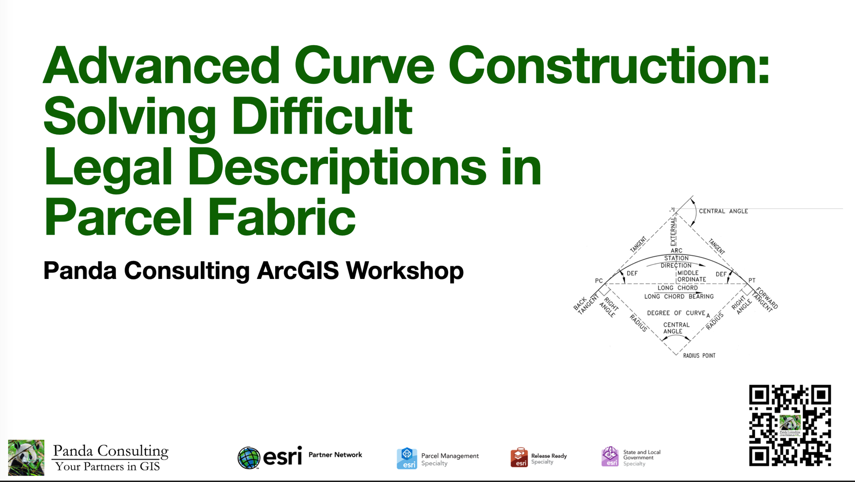
Advanced curve construction is one of the most challenging aspects of cadastral mapping, particularly when legal descriptions contain incomplete dimensions, compound curves, conflicting calls, or references to historic survey practices. This workshop explored the tools and workflows necessary to interpret and construct complex curve geometry in ArcGIS Pro.
Attendees learned how to solve complex curve-related problems using bearings, radii, arc lengths, chord lengths, delta angles, and non-tangent relationships. The workshop also addressed how to identify and resolve inconsistencies in legal descriptions, reconstruct missing elements, and apply sound cadastral judgment when source documents did not align perfectly. Emphasis was placed on the efficient use of parcel-construction tools while maintaining defensible, traceable results.
To watch the recording, click here
If you would like to receive our monthly newsletter, which includes an invitation to attend this workshop live, please sign up at the bottom of the Home or Events Page.