

Subdivision mapping is one of the foundational workflows in modern cadastral management, requiring a careful balance between survey accuracy, legal intent, and efficient data maintenance. This workshop introduces the practical process for creating and managing subdivisions in ArcGIS Pro Parcel Fabric, guiding participants through the complete workflow from source document interpretation to final parcel creation. Attendees will gain a deeper understanding of how subdivision plats are translated into authoritative parcel fabric data that supports assessment, land administration, planning, and public access.
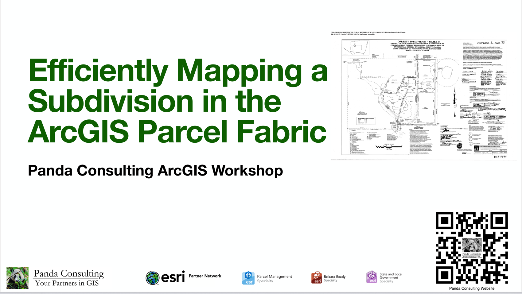
Through hands-on exercises, participants will learn how to establish subdivision boundaries, create lots and rights-of-way, construct road centerlines and curves, and manage dimensions and parcel lineage within the parcel fabric environment. The workshop will emphasize best practices for working with recorded plats, integrating survey control, and maintaining topological integrity throughout the mapping process. Special attention will also be given to handling common challenges such as gaps, overlaps, misclosures, and conflicting source information.
In addition to the technical workflows, the session will explore how subdivision mapping fits into the broader lifecycle of cadastral data management. Participants will learn how parcel histories are preserved, how edits impact adjoining parcels, and how the parcel fabric supports long-term maintenance and future land transactions. Emphasis will be placed on building clean, traceable, and defensible parcel data that aligns with both survey principles and organizational standards.
