The Boundary on the Ground vs. the Words on the Page: Why Original Surveys Still Define the Parcel
In an era dominated by digital mapping, high-precision GNSS, and automated parcel fabrics, it is tempting to believe that land ownership is defined primarily by legal descriptions, coordinate geometry, or the latest dataset in a GIS. But this view misses a foundational principle of boundary law and surveying: once a parcel is established on the ground by the original surveyor—and relied upon by landowners—that physical boundary becomes the controlling definition of the property. The written description and measured values are secondary. They describe the boundary; they do not create it.
This distinction is subtle, but it is critical. It is also one that continues to challenge modern practitioners who must reconcile historical evidence with contemporary expectations of precision.
The Original Survey as an Act of Creation
When a surveyor first lays out a parcel, they are not merely recording measurements—they are performing an act of creation. Corners are set, lines are marked, and boundaries are physically defined in a real-world context. These actions, taken together, establish the parcel in a way that is intended to persist over time.
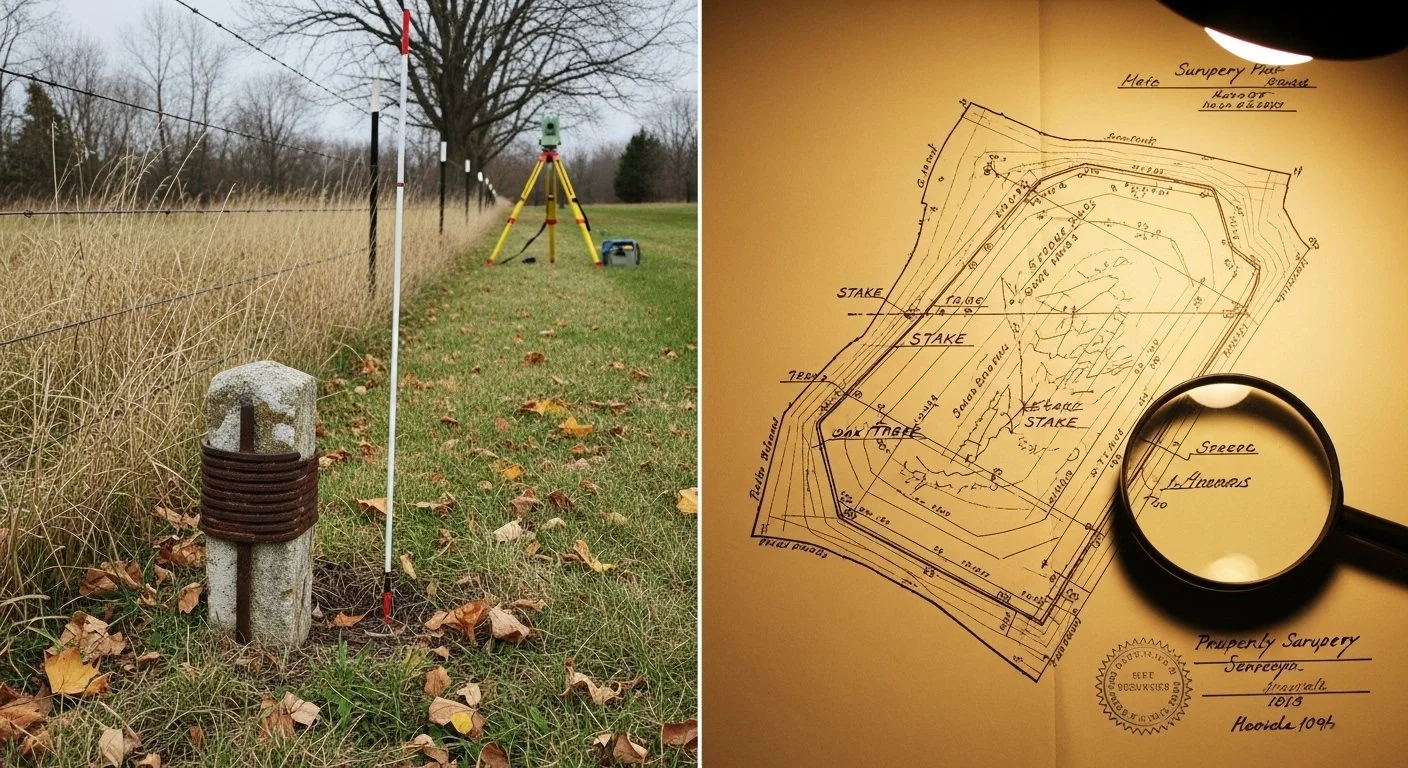
Importantly, the surveyor’s intent is expressed not only through numbers written in a field book or plat, but through the placement of monuments and the relationship of the parcel to surrounding features. These physical markers—whether iron rods, stones, trees, or other objects—anchor the parcel in reality.
Once landowners take possession based on those boundaries—building fences, making improvements, or simply occupying the land—the boundary becomes more than a technical construct. It becomes a legal and practical reality, reinforced by use and recognition.
The Role—and Limits—of Legal Descriptions
Legal descriptions are often treated as definitive, but they are better understood as representations of the boundary rather than the boundary itself. They are attempts to describe, in words and measurements, what was originally established on the ground.
However, descriptions are inherently imperfect. They can contain:
Measurement errors due to limitations of equipment or methods at the time
Transcription mistakes from one document to another
Ambiguities in language or interpretation
Changes introduced through successive conveyances
Over time, these small discrepancies can accumulate, leading to descriptions that diverge—sometimes significantly—from the physical reality of the parcel.
This is why courts and surveying standards consistently prioritize original monuments and lines over written descriptions. When conflicts arise, the question is not “What does the description say?” but rather “What did the original surveyor establish, and how has that boundary been recognized since?”
Monuments Over Measurements
A cornerstone principle in boundary resolution is the priority of evidence. In general terms, the hierarchy looks something like this:
Natural monuments (rivers, trees, etc.)
Artificial monuments (iron rods, stakes, markers)
Lines of occupation (fences, walls, longstanding use)
Bearings and distances
Area or quantity
This hierarchy reflects a simple truth: physical evidence on the ground is more reliable than abstract measurements. A monument set by the original surveyor—even if slightly “off” by modern standards—carries more weight than a mathematically perfect coordinate derived later.
Why? Because that monument represents the surveyor’s intent at the moment the parcel was created. It is the closest thing we have to the original act of defining the boundary.
The Problem with “Correcting” History
Modern tools allow us to measure with extraordinary precision. With GNSS and least-squares adjustments, we can compute positions to within centimeters or better. But this precision can create a false sense of authority.
A common mistake is to assume that improved measurement accuracy justifies “correcting” older surveys. For example:
Adjusting a parcel boundary to match a mathematically closed traverse
Repositioning corners to fit coordinate geometry
Redrawing boundaries to eliminate apparent overlaps or gaps
While these actions may produce cleaner data, they risk overriding the original boundary and the legal reality it represents. In effect, they substitute a new interpretation for the established one—potentially altering property rights in the process.
Surveying, in this context, is not about achieving mathematical perfection. It is about recovering and respecting the original intent, even when that intent is imperfectly expressed.
Boundary as Evidence, Not Geometry
One of the most useful ways to think about parcels is to separate the concept of boundary from geometry.
Geometry is how we model the parcel: coordinates, lines, polygons, and areas in a GIS.
Boundary is the legally recognized extent of ownership, grounded in physical evidence and historical intent.
Geometry can be updated, refined, and corrected. Boundary, once established and relied upon, is far more stable. It persists even as our representations of it evolve.
This distinction is especially important in modern systems like parcel fabrics, where the temptation is to treat the dataset as authoritative. In reality, the dataset is an interpretation—one that must remain subordinate to the underlying evidence.
Implications for GIS and Parcel Management
For GIS professionals and cadastral managers, this principle has practical consequences:
Data should reflect evidence, not override it. When discrepancies arise, the goal is to document and reconcile them, not to force alignment.
Historical surveys matter. Even incomplete or inconsistent records may contain critical clues about original intent.
Accuracy is not the same as correctness. A highly precise dataset can still be wrong if it misrepresents the established boundary.
Uncertainty should be acknowledged. Not all discrepancies can—or should—be resolved through computation alone.
Modern systems are powerful tools, but they must be used with an understanding of the legal and historical context in which parcels exist.
The Enduring Authority of the Original Boundary
At its core, this concept reinforces a fundamental idea: land ownership is not defined by the latest description, the cleanest dataset, or the most precise measurement. It is defined by the boundary that was originally established on the ground and accepted over time.
That boundary may not be perfect. It may not close mathematically. It may even conflict with the written description. But if it reflects the original surveyor’s intent and has been relied upon by landowners, it carries enduring authority.
For surveyors and GIS professionals alike, the challenge is not to impose modern precision on historical work, but to understand and honor the boundary as it was created. In doing so, we preserve not just spatial accuracy, but the continuity of property rights that depend on it.
In a world increasingly driven by data, this perspective serves as a reminder: the most important lines are not the ones we draw today, but the ones that were set in the ground—often generations ago—and still define ownership in the present.